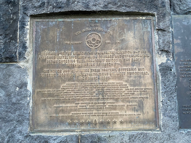
Recently I was visiting one of my sites for work which just happens to be in the town of Remagen, in Germany.
 |
| View from the Western bank. The railway line went through a tunnel in the mountain on the left of the picture |
The history of the bridge is well publicised and a good summary can be found here https://en.wikipedia.org/wiki/Battle_of_Remagen
 |
| Looking from the towpath back inland |
Today the bridge towers on both West & East banks (all that remain of the original bridge) have been turned into museums. Sadly the museum on the West bank doesn't open until March so I was unable to visit.
 |
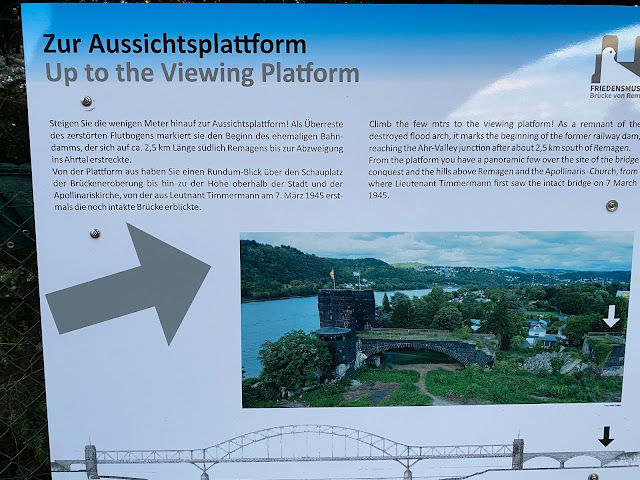
| Looking from the viewing point on the flood dam, back towards the river. The eastern towers just visible in the centre of the picture |
As the Bridge was never replaced, it is something like an 80Km round trip to drive to the Eastern towers, but there is a foot ferry you can use to get across if you wished. The Rhine at this point is probably 500 or so metres wide!
Another very good account of the battle for the bridges can be watched on YouTube here https://www.youtube.com/watch?v=tdy1IAJvCNM
I'll leave you with the other pictures I took.
 |
| A piece of the original bridge, dredged up several km downstream from the collapse |


No comments:
Post a Comment